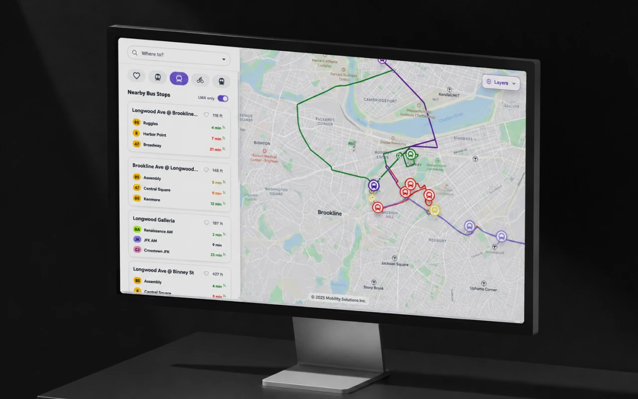
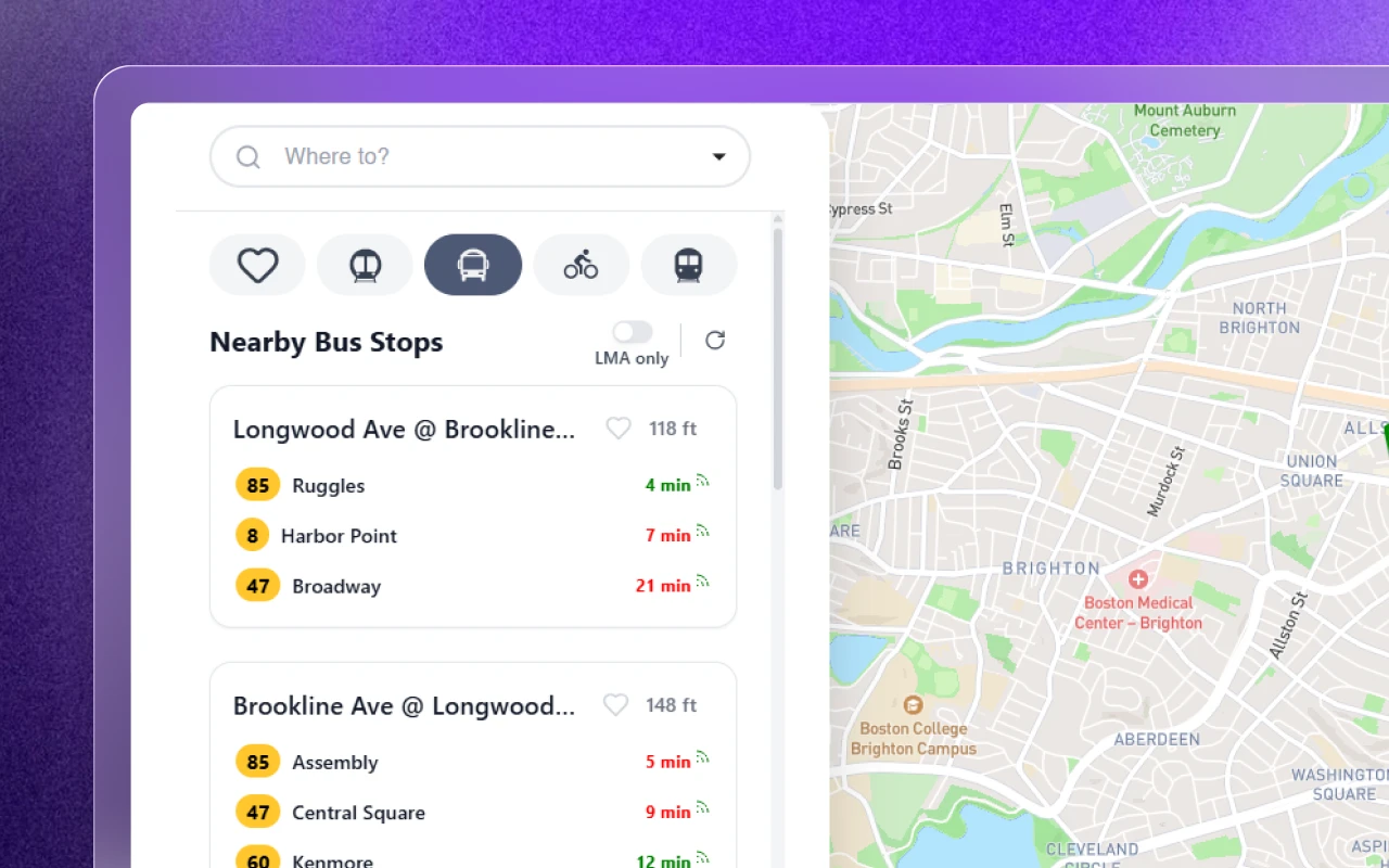
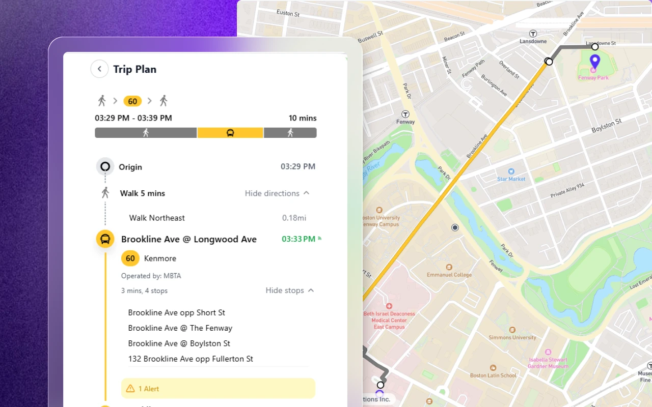
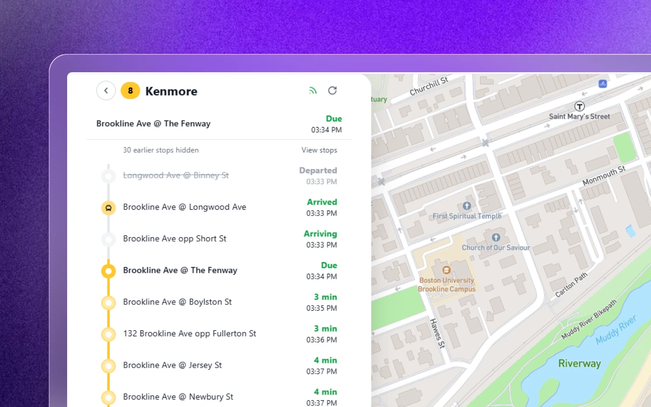
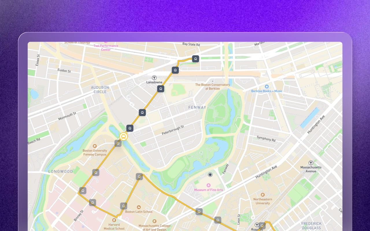
Making public transit readable at every zoom level.
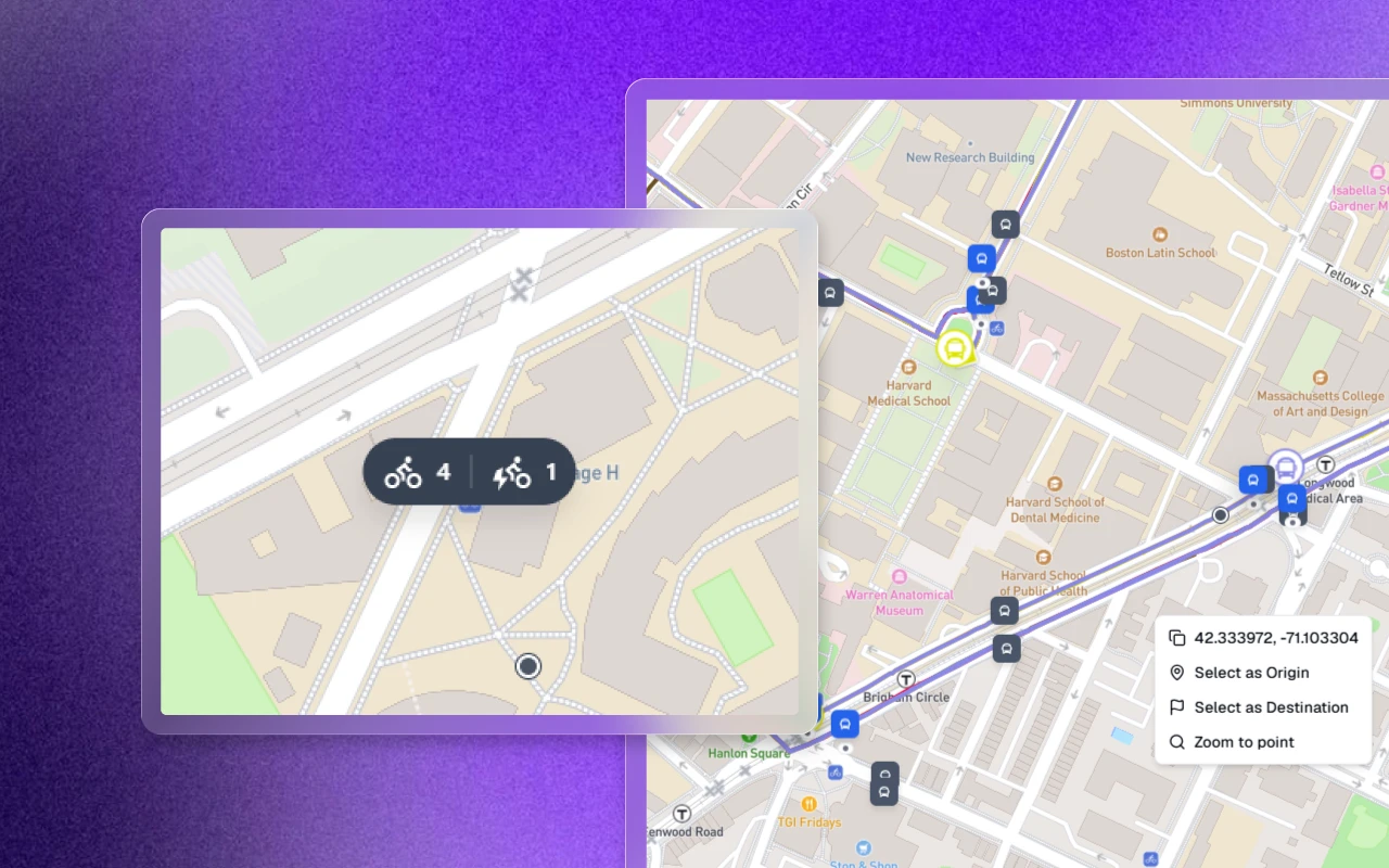
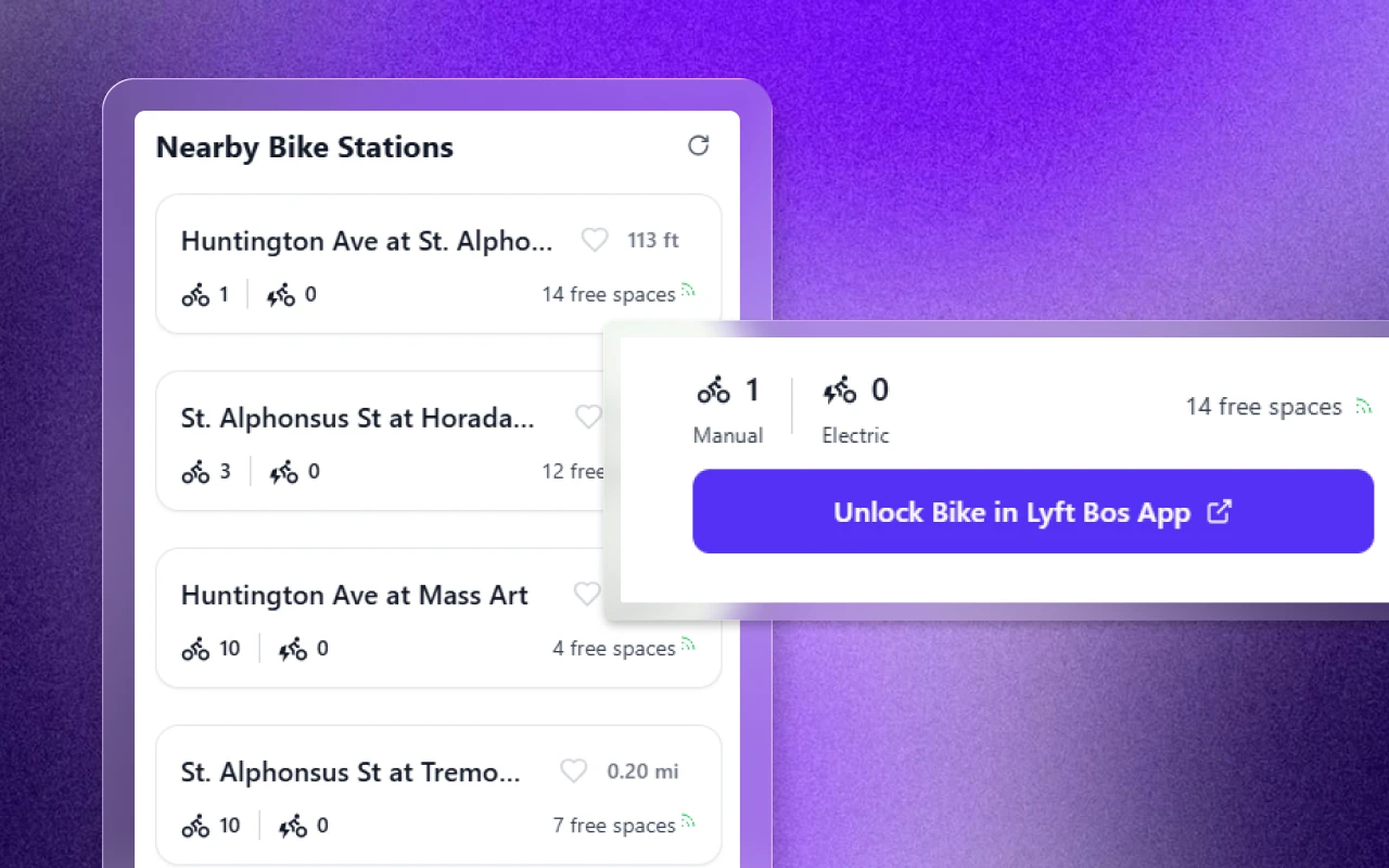
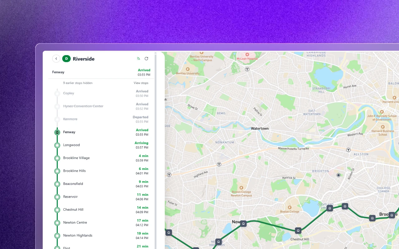
Ontra is a YC-backed platform helping cities build multimodal transit systems. The public trip planner lets riders plan journeys across bus, rail, and bike using live transit data.
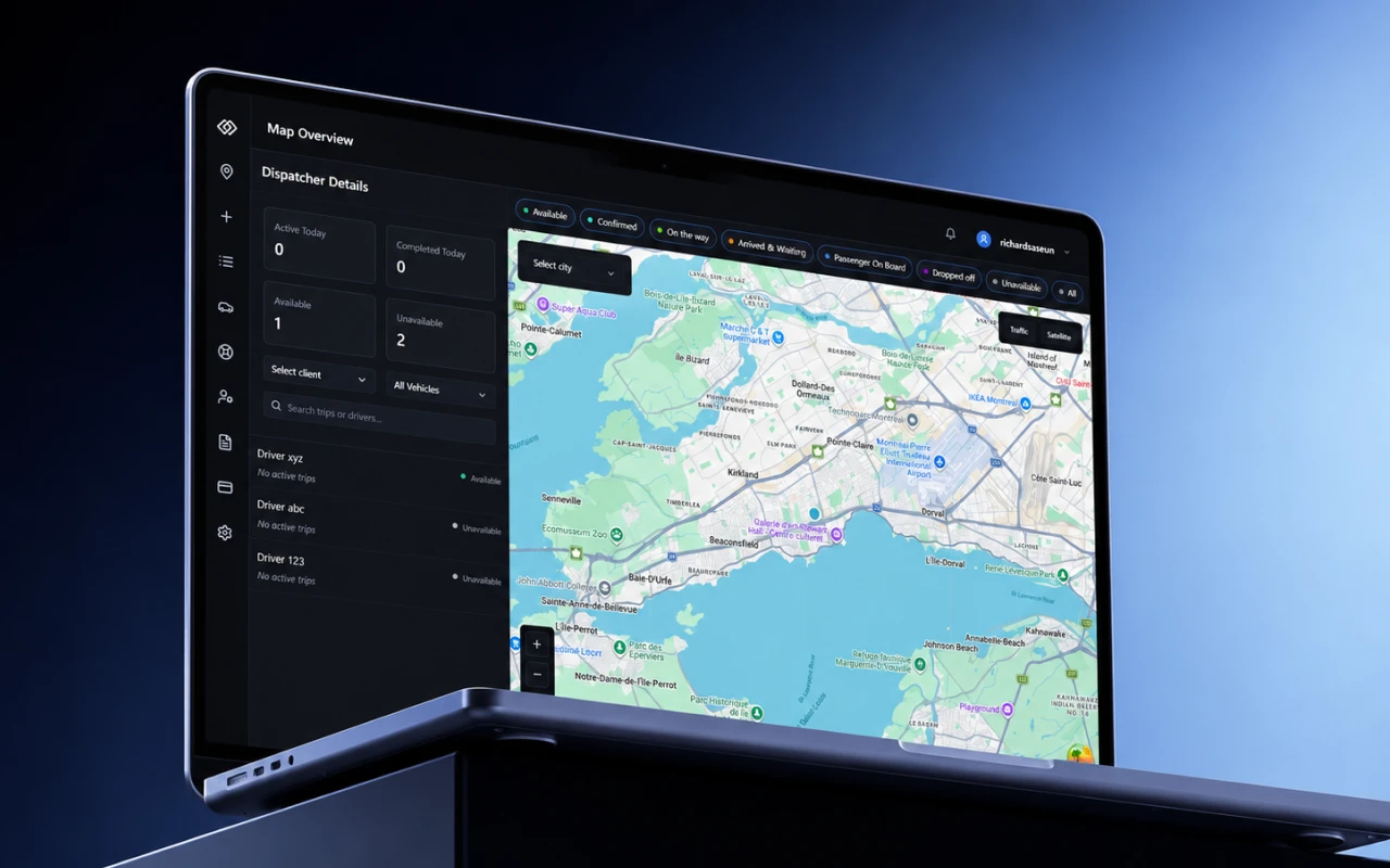
I joined with an existing product. The brief was to redesign the side panel. But redesigning how information is shown in the panel meant redesigning how it's reflected on the map. One component became a connected system.